
Getting Started with an RTLS Project.
As Bluetooth® Low Energy (BLE) permeates our world, RTLS solutions are becoming less expensive, faster to deploy, easier to manage, and address a wider range of use cases. More customers are considering their first RTLS project but want to understand the steps to get to a working solution.
The most successful RTLS deployments begin with a cross functional team that describes the target problem succinctly, the desired outcome, and the metrics used to define success. The team reports to an executive sponsor who ensures support and funding, and the team appoints an individual to be responsible for ongoing RTLS management of the solution.
As part of the criteria for selecting the best RTLS vendor, the team should weigh the following considerations;
- Cloud based solutions are becoming more acceptable and relieve the organization of maintenance and expansion. Is there an on-premises to cloud migration strategy?
- Subscription pricing reduces initial capital outlay and scales proportionally to your needs. Many companies are shifting cap-ex to op-ex to reduce the impact to financial statements.
- Location accuracy might be sufficient using existing access points (room/zone level), but better accuracy (e.g. bed-level, or even submeter) requires additional infrastructure.
- Mission criticality of the targeted use cases will influence architectural decisions. For example the levels of redundancy required and the need for processing data on-prem, in cloud or both as a hybrid solution.
- Battery management strategies will be driven by technology and the tag’s chirp rate (e.g. the battery of a BLE tag that chirps once per minute to identify its location can last a several years)
- Does the cost of the tag allow tracking of lower value items (beds vs. carts vs. trays).
Once the objectives are well defined and the RTLS vendor is selected, there should be a well-defined process for deployment.
Map Management
As a visualization tool for location information, maps are at the heart of solutions using RTLS. Maps might be based on GPS maps or image files of floorplans. Because the same floorplans are used by multiple applications, you might consider centralizing floorplans into a single source. RTLS vendors like AiRISTA can automatically upload floorplans from a 3rd party source like Cisco’s CMX, or upload user provided maps.
Many use cases leverage zones on a floorplan to monitor coming & going as well as dwell time. Solutions should provide a way to upload existing zones or draw them by hand, eliminating tedious techniques that consume peoples’ time.
Maps should also be organized in a hierarchical fashion according to floor, building and campus.
Infrastructure Setup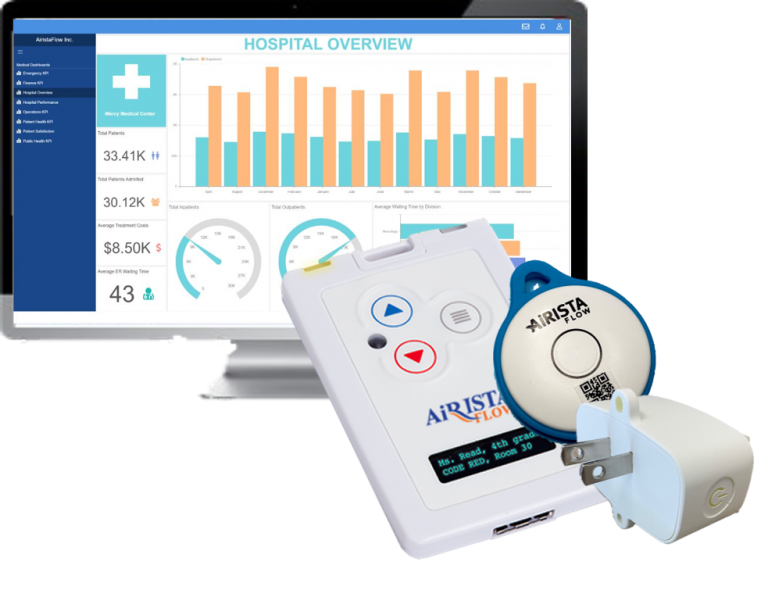
In many cases the current access point infrastructure can be used for location determination. For example, Wi-Fi based APs laid out in a grid 50 feet apart can potentially yield 20-30’ of accuracy. If better accuracy is required or your APs do not support BLE, you might consider augmenting your existing environment with overlay gateway devices.
The devices can be simple BLE beacons that act as a location anchor point, or small versions of an access point with Wi-Fi and BLE capability. They can be deployed as simply as scanning the bar code on the device with a mobile phone which passes the device’s MAC address to the software’s map interface where a mouse click drops it on the floorplan. Technologies like BLE angle-of-arrival provide submeter accuracy and tracking in the vertical dimension and are appropriate for specific areas like stock rooms. Angle-of-arrival requires overlay BLE readers which house micro antennas which detect differences in the angle of the arriving signal.
Tag Configuration
Tags and their unique identifiers (e.g. MAC address) are uploaded via a file to the software platform or added individually, as might be the case for a visitor. Association to a person or asset can be done using a scanning app on a mobile phone to autofill fields on a software form.
The various capabilities of tags are sent to the tag over the air as part of the configuration process. Possible configurations might be available for BLE settings, chirp rates, reporting intervals, sleep/wake parameters, LED flashes, and button pushes.
Workflow Setup
Locating a resource in the moment is a fraction of the value your should expect from an RTLS solution. A deeper value is the platform’s ability to drive business processes. These business processes include inventory management, smart pathing, contractor oversight, utilization levels, and alerts for dwell times and Par levels. Laypeople can create workflows through a series of drop-down menus based on location counts, process steps, button pushes, temperature, etc. REST, web-based and streaming APIs are also available for deeper customization of workflows to integrate with 3rd party applications and physical devices like cameras.
Reports & Dashboards
Reports delivered from the software platform create the basis for objective measures of success. These might be measures of things like asset utilization, route efficiency improvement, turn around times, temperature deviation, etc. Reports can be automated for delivery to the extended team. Dashboards at-a-glance visual tools to quickly understand current state and trends. Dashboards should be customizable (what metrics to display) and flexible (variety of charting tools).
 System Debug
System debug begins during installation and tools should be available for ongoing troubleshooting both locally and remotely. Access to the raw data delivered from tags and radio signal levels can resolve issues during deployment. This allows for tweaks to output levels as well as receiver sensitivity settings. These streams can be exported and sent to the vendor’s support team for remote troubleshooting. These early diagnostics help avoid zone overlaps and floor hopping.
The ability to validate location accuracy during deployment, or after the fact, resolves what has historically been one of the most problematic issues for continuing operation. When the tag’s button is pushed, its location is presented on the floorplan. An error is generated if the tag’s location is calculated to be in the wrong location. Updating infrastructure configs will bring the tag back to the correct location.
System Management
User roles in the system determine who has access to the management capabilities. Management tasks include user management and their roles, adding tags to the system and assigning them to resources, adding infrastructure and maintaining configuration settings. Automated reports are setup for delivery to alert to battery levels and missing tags or infrastructure. Intuitive management tools allow administrators to start using the system quickly.
RTLS deployments have traditionally been hampered by solution complexity and time-to-value. As solutions like AiRISTA’s sofia platform become easier to use and deploy quickly, the number of practical use cases is expected to grow. According to Gartner, “By 2025, 40% or nearly 890 million of new Internet of Things (IoT) “things” will know their location, up from under 10% (or less than 150 million today).”[1]
[1] Gartner, Emerging Technologies: Venture Capital Growth Insights for Indoor Location Services, Annette Zimmerman, May 14, 2021


